

Mill Creek Water Trail
Twenty-two miles, Cedar Lakes to the Ohio
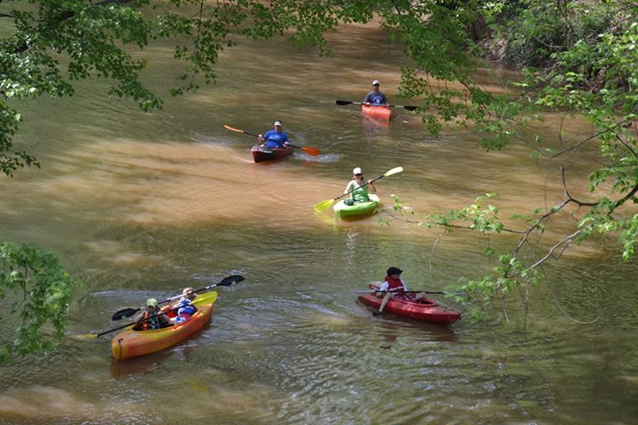
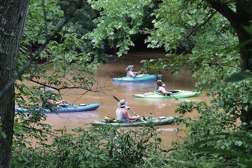
The Mill Creek Water Trail carries paddlers 22 miles across Jackson County, beginning at Cedar Lakes and terminating at the Ohio River. Put-in locations at Ripley, Evans, Cottageville and Millwood let you take on the whole run or bite off a lazy afternoon.
It's flatwater country — good for a first kayak trip, a fishing float or a slow drift past farmland and sycamores. Paddlers who want still water instead can launch on Rollins, Elk Fork or Woodrum lakes, all within a short drive.
Always check water levels and weather before you launch, and let someone know your take-out point.
Cedar Lakes
Trail head, two miles south of Ripley.
Ripley
The most convenient put-in for visitors staying at I-77 Exit 138.
Evans
Mid-trail access near Rollins Lake.
Cottageville
Downstream access close to the Jackson County fairgrounds.
Millwood
Final stretch before the Ohio River terminus.
Answers
Water trail questions
- How long is the Mill Creek Water Trail?
- The Mill Creek Water Trail is 22 miles long. It begins at Cedar Lakes and terminates at the Ohio River.
- Where can I put in on the Mill Creek Water Trail?
- Put-in locations are available at Ripley, Evans, Cottageville and Millwood, with the trail beginning at Cedar Lakes.
- Where else can I kayak near Ripley, WV?
- Good kayaking opportunities are also found at Rollins Lake, Elk Fork Lake and Woodrum Lake.